STRIP, MAP AND SAMPLE (SMS)
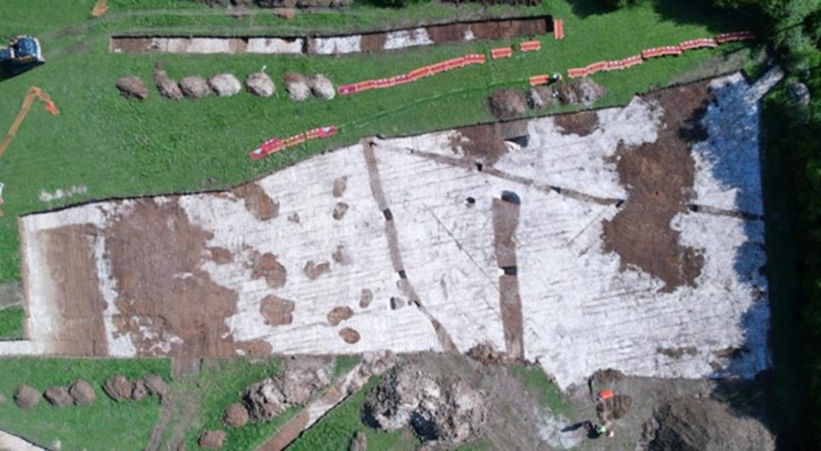
Strip, Map, and Sample (SMS) is an excavation technique used to investigate areas of land usually following a field evaluation, enabling archaeologists to explore the relationships, extent, and significance of any archaeological features present. This method provides a comprehensive understanding of a site’s layout and historical context. Typically, SMS is employed once preliminary investigations, such as geophysical surveys or trial trenches, have confirmed the presence of archaeological remains, or if these features are already known to exist in the area.
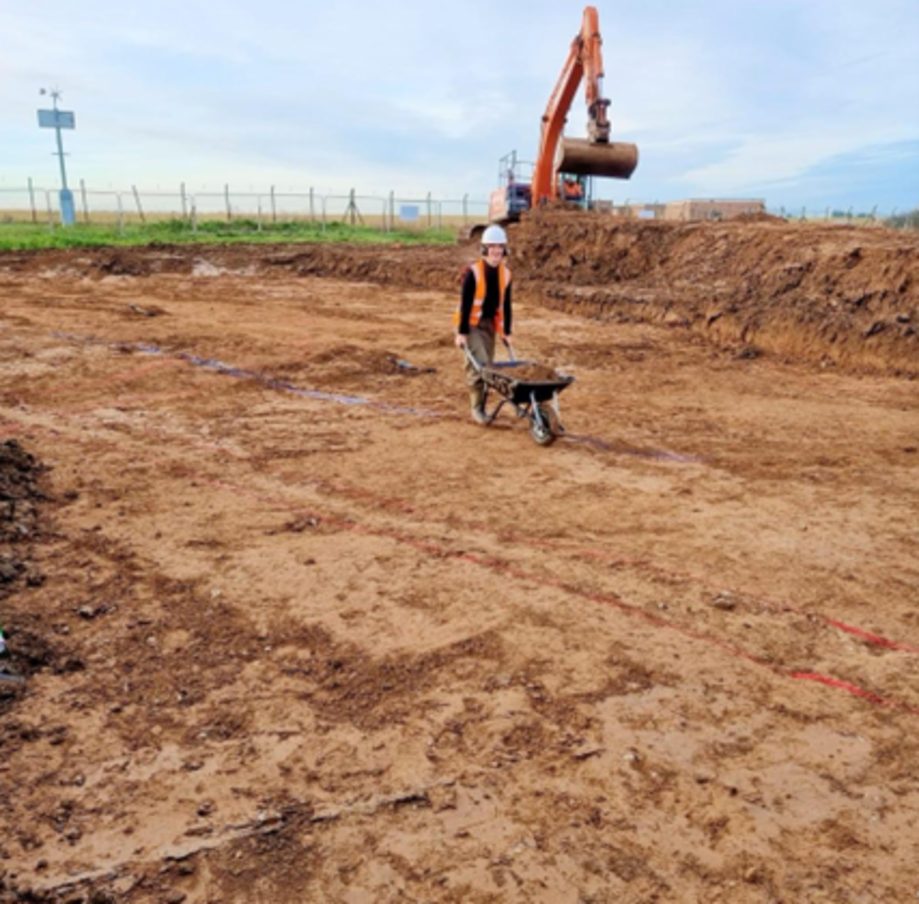
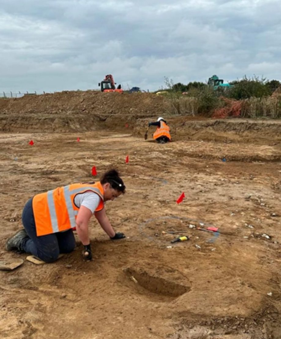
The process begins by stripping away the plough soil, which is the layer of soil disturbed by modern agricultural practices. Once this topsoil is removed, archaeologists manually clean the surface, carefully exposing the underlying archaeological features. These features are then mapped using survey techniques, and the resulting drawings and site plans help to visualize and clarify the relationships between different features, particularly those that are difficult to interpret directly on-site.
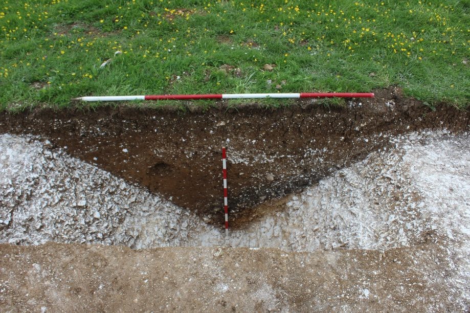
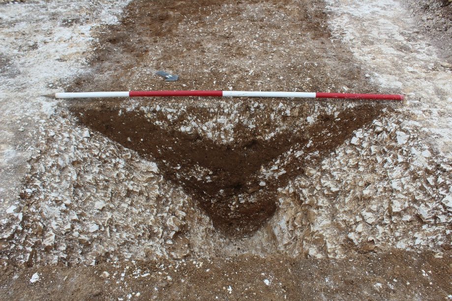
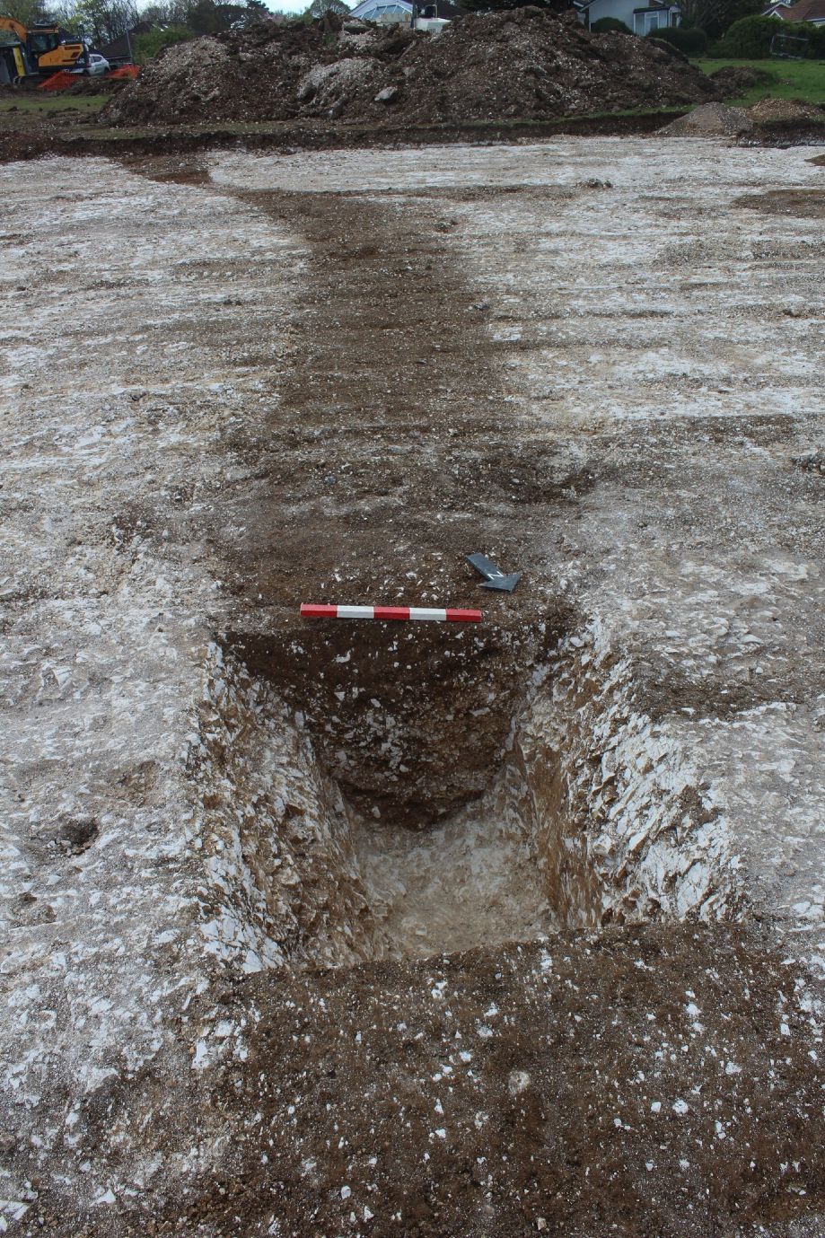
After mapping, decisions are made regarding which features should be excavated and to what extent. The sampling phase involves the careful excavation of a representative portion of these features. During this process, features are excavated by hand, and detailed technical drawings and photographs are created to document the excavation. Additionally, environmental sampling is conducted to gather further evidence of the site’s past, through the analysis of materials such as charred wood, plant remains, and insect fragments found in soil samples.
The post-excavation phase begins once the fieldwork is completed. This involves digitizing all the illustrations and compiling the findings into a comprehensive report. Any artifacts or environmental samples—such as pottery, flint tools, or animal bones—are sent for specialist analysis. These experts will examine and interpret the materials to provide deeper insights into the sites history. Once all specialists have contributed their reports, the entire document is compiled and prepared for publication.
The final publication offers a detailed analysis of the site, as well as a breakdown of each individual feature uncovered during the excavation. This thorough documentation is essential not only for preserving our understanding of the past but also for advancing our knowledge of cultural heritage, providing invaluable insights into the lives of those who lived at the site centuries or millennia ago.